
Temperatures are set to hit up to 29 and 30 degrees in parts of the country today and tomorrow but Met Eireann has confirmed when the mini heatwave will finish up

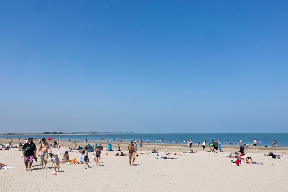
Crowds on the beach(Image: Collins Photo Agency)
Met Eireann have forecast highs of “29 or 30” degrees over the next couple of days.
Parts of the country will sizzle but not for long as the national forecaster has pinpointed the end of the mini heatwave the country has enjoyed over the last few days.
In an overview for the days ahead, Met Eireann wrote: “After a warm or very warm and dry first half of the week, temperatures will pull back a little, with some rain and showers to come too.”
Here’s the full forecast for the rest of the week.
Tuesday 26th May
Any mist or fog patches will clear early on to leave another warm or hot day and it’ll be dry and sunny for most. It’ll just be a little cloudy for a time in the north and northwest and during the afternoon there’s the outside chance of an isolated shower. Highest temperatures will generally range from 23 to 29 or 30 degrees, hottest in Munster and south Leinster. It’ll be a little cooler in parts of the north and northwest and in some eastern coastal parts, in a light to moderate northeast or variable breeze.
Mild and dry tonight with mostly clear skies. There’ll just be a little bit of cloud here and there and the chance of a few isolated mist patches. Lowest temperatures of 11 to 17 degrees generally, mildest further south, though a little cooler in the far north, in light to moderate northeasterly or variable breezes.
Wednesday 27th May
Tomorrow, Wednesday will see a continuation of the warm or hot spell of weather and it’ll be a mainly dry and sunny day. Later in the day there’s the chance of a few well scattered showers breaking out. Highest temperatures of 22 to 29 or 30 degrees, hottest in the midwest and west, though a little lower in coastal parts of the east and northeast, in mostly moderate easterly winds.
A very mild night. While it will be dry for most with long clear spells, a few showers may develop, and also some mist and fog patches. Lowest temperatures of 12 to 16 degrees, with a light to moderate east to southeast breeze.
Thursday 28th May
Cloudier than recent days with some patchy outbreaks of rain and drizzle further west. A bit cooler too, with highest temperatures of 18 to 24 degrees, a little lower along southern and southwestern coasts. Moderate southeasterly winds will veer southwesterly through the day and freshen a bit.
Friday 29th May
Any rain will clear northwards early on, leaving a dry day with some good sunshine, but with cloud building from the south through the afternoon and evening. Highest temperatures of 17 to 21 degrees, with light to moderate west to southwest winds.
June bank holiday weekend
Current indications are for a return to more unsettled conditions for the long weekend, with some rain and showers forecast. Highest daytime temperatures falling back to the mid to high teens.
Want to see more of the stories you love from RSVP ? To add RSVP as a preferred source of news on Google, simply click here